
FCCInfo.com
A Service of Cavell, Mertz & Associates, Inc.
(855) FCC-INFO
|
|
|
|
|
||||||||||||||||
|
|
W248DB Channel: 248D 97.5 MHz Clarksburg, West Virginia Service: FX - A translator or application for a translator. Facility ID: 200293 Fac. Service: FX Programming Delivery Method: Unspecified Status: License Application Accepted: 10/18/2018 Application Granted: 10/24/2018 File Number: BLFT-20181018AAL License Expires: 00/00/0000 Prefix Type: This is a license for a translator Application Type: License To Cover FCC Website Links: LMS Facility Details This Application CDBS Application Other W248DB Applications Other W248DB Applications in CDBS Including Superseded Applications Mailing Address Correspondence for W248DB Correspondence related to application BLFT-20181018AAL Service Contour - Open Street Map or USGS Map (60 dBu) Service Contour - KML / Google Earth (60 dBu) Class: D, A Noncommercial educational operating with no more than 10W Site Location: 39-17-11.3 N 80-19-36.3 W (NAD 83) Site Location: 39-17-11.0 N 80-19-37.0 W (Converted to NAD 27) Effective Radiated Power: 0.25 kW Transmitter Output Power: 0.301 kW Antenna Center HAAT: 0 m Antenna Center AMSL: 540 m (1772 ft.) Antenna Center HAG: 113 m (371 ft.) Site Elevation: 427 m. (1401 ft.) Height Overall*: 146 m (479 ft.) (* As Filed In This Application, may differ from ASR Data, Below.) Directional Antenna Antenna Make/Model: None Antenna ID: 16125 Polarization:
| ||||||||||||||||||
| Antenna Data for Antenna Id: 16125 W248DB FX File: BLFT-20181018AAL None - Service: FX Pattern and Field Values Include a 110° Clockwise Rotation | 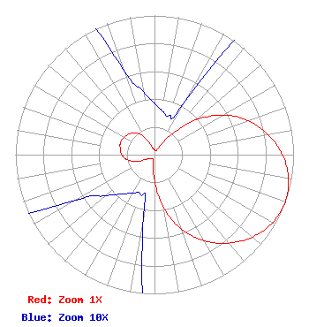 | ||||||||||||||||||
| Azimuth | Ratio | Azimuth | Ratio | Azimuth | Ratio | Azimuth | Ratio | ||||||||||||
| 0 | 0.037 | 10 | 0.032 | 20 | 0.030 | 30 | 0.045 | ||||||||||||
| 40 | 0.187 | 50 | 0.388 | 60 | 0.570 | 70 | 0.715 | ||||||||||||
| 80 | 0.829 | 90 | 0.920 | 100 | 0.979 | 110 | 1.000 | ||||||||||||
| 120 | 0.979 | 130 | 0.920 | 140 | 0.829 | 150 | 0.715 | ||||||||||||
| 160 | 0.570 | 170 | 0.388 | 180 | 0.187 | 190 | 0.045 | ||||||||||||
| 200 | 0.030 | 210 | 0.032 | 220 | 0.037 | 230 | 0.046 | ||||||||||||
| 240 | 0.065 | 250 | 0.142 | 260 | 0.202 | 270 | 0.234 | ||||||||||||
| 280 | 0.250 | 290 | 0.260 | 300 | 0.250 | 310 | 0.234 | ||||||||||||
| 320 | 0.202 | 330 | 0.142 | 340 | 0.065 | 350 | 0.046 | ||||||||||||
Structure Registration Number 1242845 Structure Type: TOWER Registered To: Harrison County Commission Structure Address: Pinnickinnick Hill - W. Brent Maxwell Telecommunications Site Clarksburg, WV County Name: Harrison County ASR Issued: 04/06/2004 Date Built: 08/12/2004 Site Elevation: 427 m (1401 ft.) Structure Height: 146.3 m (480 ft.) Height Overall: 146.3 m (480 ft.) Overall Height AMSL: 573.3 m (1881 ft.) FAA Determination: 03/12/2004 FAA Study #: 2004-AEA-579-OE FAA Circular #: 70/7460-1K Paint & Light FAA Chapters: 4, 8, 12 Removed expiration date from determination. Scenario 1./jjs/case#635066 39-17-11.5 N 80-19-36.4 W (NAD 83) 39-17-11.2 N 80-19-37.1 W (Converted to NAD 27) |
132 Carubia Dr Core, WV 26541 Phone: 304-598-0026 | Date: 10/18/2018 Application Certifier LIGHT OF LIFE COMMUNITY INC 132 Carubia Dr Core, WV 26541 Applicant LIGHT OF LIFE COMMUNITY INC Light Of Life Community Inc 132 Carubia Dr Core, WV 26541 BOB CARUBIA 132 Carubia Dr Core, WV 26541 PRESIDENT | |||||||||||||||||