|
|
Antenna Structure Registration 1032010 |
 |
Registration Info | Registration Number: 1032010 |
| File Number: A0037962 |
| Status: Constructed |
| Date Constructed: 01/01/1995 |
| NEPA: N |
Structure Info
| Structure Type: TOWER |
| Structure Coordinates: 47-13-8.0 N 121-50-35.0 W (NAD 83) |
| Structure Coordinates: 47-13-08.6 N 121-50-30.6 W (Converted to NAD 27) |
| Structure Address: Baldy Mountain |
| Structure City: Enumclaw, WA |
| Structure County: King County |
| Painting & Lighting Info |
FCC Paragraph(s): None |
| Elevation Info |
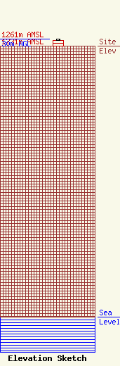
Site Elevation: 1231 meters (4039 ft) |
| Height of Structure: 25 meters (82 feet) |
| Overall Height Above Ground: 30 meters (98 feet) |
| Overall Height Above Mean Sea Level: 1261 meters (4137 feet) |
| Owner Info | ROBINSON, ALAN W DBA = GOLDSPAR COMMUNICATIONS
4919 N MILDRED ST
TACOMA, WA 98407
(253) 759-4334
ALAN@GOLDSPAR.COM |
