|
|
Antenna Structure Registration 1038442 |
 |
Registration Info | Registration Number: 1038442 |
| File Number: A0461655 |
| FAA Study: 90-ANM-0377-OE |
| Status: Constructed |
| Date Constructed: 09/01/1984 |
| FAA EMI: N |
| NEPA: N |
Structure Info
| Structure Type: TOWER |
| Structure Coordinates: 39-38-5.0 N 106-26-49.0 W (NAD 83) |
| Structure Coordinates: 39-38-05.1 N 106-26-46.9 W (Converted to NAD 27) |
| Structure Address: Approx 2 Mi W |
| Structure City: Vail, CO |
| Structure County: Eagle County |
| Painting & Lighting Info |
FAA Circular #: 70/7460-1F |
FAA Chapters: 3, 4, 5, 9 |
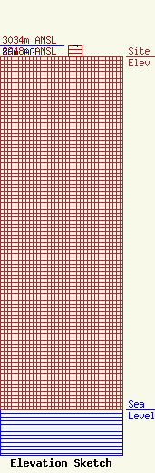
| Elevation Info |
Site Elevation: 2948 meters (9672 ft) |
| Height of Structure: 85 meters (279 feet) |
| Overall Height Above Ground: 86 meters (282 feet) |
| Overall Height Above Mean Sea Level: 3034 meters (9954 feet) |
| Owner Info | Traer Air LLC
640
Vail, CO 81658
(970) 949-6776
|
| Contact Info | Traer Air LLC
640
Vail, CO 81658
Daniel Leary
(970) 949-6776
|
