|
|
Antenna Structure Registration 1226581 |
 |
Registration Info | Registration Number: 1226581 |
| File Number: A0322908 |
| FAA Study: 01-ANM-0082-OE |
| FAA Issue Date: 04/16/2001 |
| Status: Constructed |
| Date Constructed: 09/20/1989 |
| FAA EMI: N |
| NEPA: N |
Structure Info
| Structure Type: TOWER |
| Structure Coordinates: 42-51-56.7 N 112-30-46.9 W (NAD 83) |
| Structure Coordinates: 42-51-57.0 N 112-30-44.0 W (Converted to NAD 27) |
| Structure Address: Howard Mountain, Near Pocatello Id |
| Structure City: Pocatello, ID |
| Structure County: Bannock County |
| Painting & Lighting Info |
FCC Paragraph(s): 1, 3, 11, 21 |
Remarks: PAINT/RED LIGHTS |
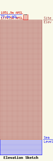
| Elevation Info |
Site Elevation: 1774.5 meters (5822 ft) |
| Height of Structure: 77.1 meters (253 feet) |
| Overall Height Above Ground: 77.4 meters (254 feet) |
| Overall Height Above Mean Sea Level: 1851.9 meters (6076 feet) |
| Owner Info | Pacific Empire Communications
p.o.box 40
Pocatello, ID 83401
(208) 233-2121
|
| Info |
