|
|
Antenna Structure Registration 1025342 |
 |
Registration Info | Registration Number: 1025342 |
| File Number: A1277816 |
| FAA Study: 97-AGL-1956-OE |
| FAA Issue Date: 06/03/1997 |
| Status: Constructed |
| Date Constructed: 01/01/1997 |
| NEPA: N |
Structure Info
| Structure Type: TOWER |
| Structure Coordinates: 40-23-26.0 N 86-51-52.0 W (NAD 83) |
| Structure Coordinates: 40-23-25.9 N 86-51-52.0 W (Converted to NAD 27) |
| Structure Address: Nr Int S 30th St & Summer St |
| Structure City: Lafayette, IN |
| Structure County: Tippecanoe County |
| Painting & Lighting Info |
FAA Chapters: NONE |
Remarks: PROJECT STATUS REQUEST SHOWS STRUCTURE REACHED ITS GREATEST IN LATE 1993. |
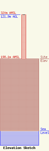
| Elevation Info |
Site Elevation: 198.1 meters (650 ft) |
| Height of Structure: 121.9 meters (400 feet) |
| Overall Height Above Ground: 121.9 meters (400 feet) |
| Overall Height Above Mean Sea Level: 320 meters (1050 feet) |
| Owner Info | Sky Hi Communications, Inc.
60 Mill Drive
Lafayette, IN 47905
(310) 740-1939
rogers@bbc-ca.com |
| Info |
