|
|
Antenna Structure Registration 1030143 |
 |
Registration Info | Registration Number: 1030143 |
| File Number: A0332343 |
| FAA Study: 00-AWP-3057-OE |
| FAA Issue Date: 10/18/2000 |
| Status: Terminated |
| Date Constructed: 03/01/1997 |
| FAA EMI: N |
| NEPA: N |
Structure Info
| Structure Type: TOWER |
| Structure Coordinates: 37-12-32.0 N 121-46-30.9 W (NAD 83) |
| Structure Coordinates: 37-12-32.2 N 121-46-27.1 W (Converted to NAD 27) |
| Structure Address: 26060 Bernal Rd/btg Site-coyote #008113 |
| Structure City: San Jose-95013, CA |
| Structure County: Santa Clara County |
| Painting & Lighting Info |
FAA Circular #: 70/7460-1K |
FAA Chapters: 3, 4, 5, 12 |
| Elevation Info |
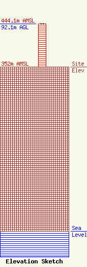
Site Elevation: 352 meters (1155 ft) |
| Height of Structure: 91.9 meters (302 feet) |
| Overall Height Above Ground: 92.1 meters (302 feet) |
| Overall Height Above Mean Sea Level: 444.1 meters (1457 feet) |
| Owner Info | American Tower, Inc.
6802 S. 220th St.
Kent, WA 98032
(425) 251-8480
|
| Contact Info | American Tower, Inc.
6802 S. 220th St.
Kent, WA 98032
Regulatory Department
(425) 251-8480
|
