|
|
Antenna Structure Registration 1238854 |
 |
Registration Info | Registration Number: 1238854 |
| File Number: A0385683 |
| FAA Study: 97-AGL-3077-OE |
| FAA Issue Date: 08/04/1997 |
| Status: Constructed |
| Date Constructed: 07/30/1997 |
| FAA EMI: N |
| NEPA: N |
Structure Info
| Structure Type: TOWER |
| Structure Coordinates: 43-54-10.9 N 91-14-41.5 W (NAD 83) |
| Structure Coordinates: 43-54-11.0 N 91-14-41.0 W (Converted to NAD 27) |
| Structure Address: On State Hwy 35, 0.1 Mile North Of Kramer Rd |
| Structure City: Onalaska, WI |
| Structure County: La Crosse County |
| Painting & Lighting Info |
FAA Chapters: NONE |
Remarks: Removed expiration date from determination. Scenario 1./jjs/case#635066 |
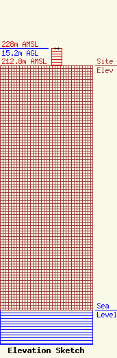
| Elevation Info |
Site Elevation: 212.8 meters (698 ft) |
| Height of Structure: 15.2 meters (50 feet) |
| Overall Height Above Ground: 15.2 meters (50 feet) |
| Overall Height Above Mean Sea Level: 228 meters (748 feet) |
| Owner Info | MISSISSIPPI VALLEY BROADCASTERS, LLC
1407 2ND AVENUE N
LA CROSSE, WI 54650
(608) 782-8335
RADIOTEKPD@AOL.COM |
| Contact Info | EVANS ASSOCIATES
210 S. MAIN STREET
THIENSVILLE, WI 53092
B. BENJAMIN EVANS
(262) 242-6000
BEN@EVANSASSOC.COM |
