|
K258DC Channel: 258D 99.5 MHz
Omaha, Nebraska
Service: FX - A translator or application for a translator.
Facility ID: 156462
FRN: 0014471775
Fac. Service: FX
Programming Delivery Method: Unspecified
Status: LIC
Application Accepted: 03/06/2017
Application Granted: 03/22/2017
File Number: BLFT-20170306AIV
License Expires: 06/01/2029
Prefix Type: This is a license for a translator
Application Type: License To Cover
FCC Website Links:
LMS Facility Details
This Application
Other K258DC Applications
Including Superseded Applications
Service Contour - Open Street Map or USGS Map (60 dBu)
Service Contour - KML / Google Earth (60 dBu)
Class: D, A Noncommercial educational operating with no more than 10W
Site Location: 41-13-29.6 N 95-57-11.6 W (NAD 83)
Site Location: 41-13-29.6 N 95-57-10.5 W (Converted to NAD 27)
Effective Radiated Power: 0.25 kW
Transmitter Output Power: 0.095 kW
Antenna Center AMSL: 461 m (1512 ft.)
Antenna Center HAG: 98 m (322 ft.)
Site Elevation: 363 m. (1191 ft.)
Height Overall*: 131 m (430 ft.)
(* As Filed In This Application, may differ from ASR Data, Below.)
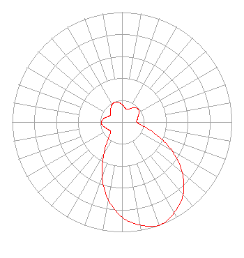
Directional Antenna
Antenna Make/Model: Scala CA5-FM/CP/RM
Antenna ID: 125545
Polarization:
| Primary Station |
| KMMQ(AM) |
Ch. 0 | Plattsmouth, Nebraska |
|
Structure Information
Structure Registration Number 1223431
[ASR Heights Differ from K258DC Application]
Structure Type: LTOWER
Registered To:
American Towers LLC
Structure Address:
2808 "b" Street (372983)
Omaha, NE
County Name: Douglas County
ASR Issued: 08/02/2024
Date Built: 03/14/2001
Site Elevation: 363 m (1191 ft.)
Structure Height: 121.9 m (400 ft.)
Height Overall: 123.1 m (404 ft.)
Overall Height AMSL: 486.1 m (1595 ft.)
FAA Determination: 03/12/2024
FAA Study #: 2024-ACE-268-OE
FAA Circular #: 70/7460-1K
Paint & Light FAA Chapters: 4, 8, 12
PRIOR STUDY 2001-ACE-2153-OE
41-13-29.6 N 95-57-11.6 W (NAD 83)
41-13-29.6 N 95-57-10.5 W
(Converted to NAD 27)
|
K258DC(FX) Licensee Information
NRG License Sub, LLC
1065 N. Center Point Rd.
Hiawatha, IA 52233
Phone: 319-200-1900
Limited Liability Company | 20170306AIV Applicant Information
Mary Quass
Date: 03/06/2017
Application Certifier
NRG License Sub, LLC
2875 MT. Vernon Road SE
Cedar Rapids, IA 52403-3553
Applicant
George Nicholas
2875 MT. Vernon Road SE
Cedar Rapids, IA 52403-3553
Director of Engineering
John M. Burgett
Wiley Rein LLP
1776 K Street, NW
Washington, DC 20006
|