|
WBSX Channel: 250B 97.9 MHz
Hazleton, Pennsylvania
Service: FM - A full-service FM station or application.
Facility ID: 133
FRN: 0019721638
Fac. Service: FM Analog & Digital
Status: LIC
Application Accepted: 04/29/2004
Application Granted: 05/07/2004
File Number: BLH-20040429AAC
License Expires: 08/01/2030
Prefix Type: This is a license for a commercial FM station
Application Type: License To Cover
FCC Website Links:
LMS Facility Details
This Application
Other WBSX Applications
Including Superseded Applications
Service Contour - Open Street Map or USGS Map (54 dBu)
Service Contour - KML / Google Earth (54 dBu)
Public Inspection Files
Facility Type: FM STATION
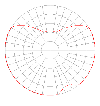
Class: B, A Zone I or I-A station; with 25kW-50kW ERP and a class contour distance 39km-52km
Site Location: 41-10-56.3 N 75-52-20.7 W (NAD 83)
Site Location: 41-10-56.0 N 75-52-22.0 W (Converted to NAD 27)
Effective Radiated Power: 6.3 kW
Transmitter Output Power: 6.53 kW
Antenna Center HAAT: 407 m (1335 ft.)
Antenna Center AMSL: 793 m (2602 ft.)
Antenna Center HAG: 140 m (459 ft.)
Calculated Site Elevation: 653 m. (2142 ft.)
Height Overall*: 153.6 m (504 ft.)
(* As Filed In This Application, may differ from ASR Data, Below.)
Directional Antenna
Antenna Make/Model: Electronics Research Inc. LP-2E-DA-HW, 2 section, 0.5 wavelength spaced
Antenna ID: 60842
Polarization:
|
Structure Information
Structure Registration Number 1026598
Structure Type: TOWER
Registered To:
VB Nimbus, LLC
Structure Address:
Penobscott Knob 6.44 Km Ssw Of Wilkes-barre
Hanover Township, PA
County Name: Luzerne County
ASR Issued: 09/29/2025
Date Built: 01/01/1986
Site Elevation: 652.9 m (2142 ft.)
Structure Height: 153.6 m (504 ft.)
Height Overall: 153.6 m (504 ft.)
Overall Height AMSL: 806.5 m (2646 ft.)
FAA Determination: 02/02/1999
FAA Study #: 98-AEA-3088-OE
Paint & Light FAA Chapters: NONE
NOTE:IF BECOMES HIGHEST IN IMMEDIATE AREA--OM&L SHALL BE 4,9,13. PREV. 85-AEA-0822-OE. AEC
41-10-56.0 N 75-52-21.0 W (NAD 83)
41-10-55.7 N 75-52-22.3 W
(Converted to NAD 27)
|
WBSX(FM) Licensee Information
Radio License Holding CBC, LLC
780 Johnson Ferry Road
Suite 500
Atlanta, GA 30342
Phone: 404-949-0700
Limited Liability Company | 20040429AAC Applicant Information
Randy L. Taylor
Date: 04/29/2004
Application Certifier
Citadel Broadcasting Company
7201 West Lake Boulevard, Ste. 400
Las Vegas, NV 89128
Applicant
Daniel G. Ryson
Cavell, Mertz & Davis, Inc.
7839 Ashton Avenue
Manassas, VA 20109-2883
Consultant
Christopher J. Sova, Esq.
Leventhal Senter & Lerman PLLC
|