|
W227DD Channel: 227D 93.3 MHz
Brent, Alabama
Service: FX - A translator or application for a translator.
Facility ID: 157152
FRN: 0030479497
Fac. Service: FX
Programming Delivery Method: Unspecified
Status: LIC
Application Accepted: 10/18/2016
Application Granted: 10/25/2016
File Number: BLFT-20161018AAJ
License Expires: 04/01/2028
Prefix Type: This is a license for a translator
Application Type: License To Cover
FCC Website Links:
LMS Facility Details
This Application
Other W227DD Applications
Including Superseded Applications
Service Contour - Open Street Map or USGS Map (60 dBu)
Service Contour - KML / Google Earth (60 dBu)
Class: D, A Noncommercial educational operating with no more than 10W
Site Location: 33-09-36.4 N 87-30-54.0 W (NAD 83)
Site Location: 33-09-36.0 N 87-30-54.0 W (Converted to NAD 27)
Effective Radiated Power: 0.25 kW
Transmitter Output Power: 0.16 kW
Antenna Center AMSL: 246 m (807 ft.)
Antenna Center HAG: 127 m (417 ft.)
Site Elevation: 119 m. (390 ft.)
Height Overall*: 152 m (499 ft.)
(* As Filed In This Application, may differ from ASR Data, Below.)
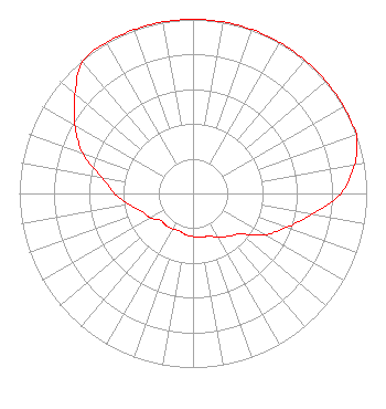
Directional Antenna
Antenna Make/Model: Propagation System Inc FML-4(.75)DIR
Antenna ID: 123392
Polarization:
| Primary Station |
| WTSK(AM) |
Ch. 0 | Tuscaloosa, Alabama |
|
Structure Information
Structure Registration Number 1065251
[ASR Heights Differ from W227DD Application]
Structure Type: GTOWER
Registered To:
Clearview Tower Company II, LLC
Structure Address:
1700 Jug Factory Road
Tuscaloosa, AL
County Name: Tuscaloosa County
ASR Issued: 09/11/2020
Date Built: 09/01/1984
Site Elevation: 120.7 m (396 ft.)
Structure Height: 152.4 m (500 ft.)
Height Overall: 152.4 m (500 ft.)
Overall Height AMSL: 273.1 m (896 ft.)
FAA Determination: 08/20/2020
FAA Study #: 2020-ASO-23330-OE
FAA Circular #: 70/7460-1J
Paint & Light FAA Chapters: 3, 4, 5, 13
OM&L to remain the same as prior studies = PAINT/RED LIGHTS
33-09-29.7 N 87-30-56.8 W (NAD 83)
33-09-29.3 N 87-30-56.8 W
(Converted to NAD 27)
|
W227DD(FX) Licensee Information
Townsquare License, LLC
4 Manhattanville Road
Suite 107
Purchase, NY 10577
Phone: 203-861-0900
Limited Liability Company | 20161018AAJ Applicant Information
Steven Price
Date: 10/18/2016
Application Certifier
Townsquare Media Tuscaloosa License, LLC
240 Greenwich Avenue
Greenwich, CT 06830
Applicant
Fred W. Greaves Jr.
321 Kormit Dr
Red Lion, PA 17356-8927
Technical Consultant
Howard M. Liberman
Wilkinson Barker Knauer LLP
1800 M Street, N.W.
Suite 800N
Washington, DC 20036
|