|
W235AV Channel: 235D 94.9 MHz
Tatnuck, Massachusetts
Service: FX - A translator or application for a translator.
Facility ID: 138657
FRN: 0014042816
Fac. Service: FX
Programming Delivery Method: Unspecified
Status: LIC
Application Accepted: 07/25/2007
Application Granted: 10/05/2007
File Number: BLFT-20070725AAR
License Expires: 04/01/2030
Prefix Type: This is a license for a translator
Application Type: License To Cover
FCC Website Links:
LMS Facility Details
This Application
Other W235AV Applications
Including Superseded Applications
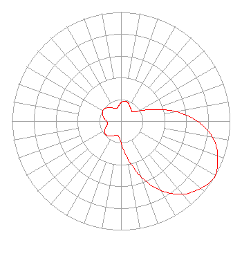
Service Contour - Open Street Map or USGS Map (60 dBu)
Service Contour - KML / Google Earth (60 dBu)
Class: D, A Noncommercial educational operating with no more than 10W
Site Location: 42-18-34.3 N 71-54-11.3 W (NAD 83)
Site Location: 42-18-34.0 N 71-54-13.0 W (Converted to NAD 27)
Effective Radiated Power: 0.23 kW
Transmitter Output Power: 0.073 kW
Antenna Center AMSL: 474 m Horiz.; 472 m Vert. (1555 ft. Horiz. / 1549 ft. Vert.)
Antenna Center HAG: 75 m Horiz.; 73 m Vert. (246 ft. Horiz. / 240 ft. Vert.)
Site Elevation: 399 m. (1309 ft.)
Height Overall*: 112 m (367 ft.)
(* As Filed In This Application, may differ from ASR Data, Below.)
Directional Antenna
Antenna Make/Model: Scala CA5-FM/CP/RM
Antenna ID: 16149
Polarization:
| Primary Station |
| WTAG(AM) |
Ch. 0 | Worcester, Massachusetts |
|
Structure Information
Structure Registration Number 1007888
Structure Type: TOWER
Registered To:
Vertical Bridge CC FM, LLC
Structure Address:
96 Stereo Ln Off Asnebumskit Rd
Paxton, MA
County Name: Worcester County
ASR Issued: 07/28/2025
Date Built: 11/11/1988
Site Elevation: 398.7 m (1308 ft.)
Structure Height: 110.1 m (361 ft.)
Height Overall: 111.6 m (366 ft.)
Overall Height AMSL: 510.3 m (1674 ft.)
FAA Determination: 02/16/1988
FAA Study #: 88-ANE-088-OE
FAA Circular #: 70/7460-1G
Paint & Light FAA Chapters: 3, 4, 5, 9
42-18-34.0 N 71-54-11.0 W (NAD 83)
42-18-33.7 N 71-54-12.7 W
(Converted to NAD 27)
|
W235AV(FX) Licensee Information
IHM Licenses, LLC
7136 S. Yale Avenue
Suite 501
Tulsa, OK 74136
Phone: 918-664-4581
| 20070725AAR Applicant Information
Stephen G. Davis
Date: 07/25/2007
Application Certifier
AMFM Radio Licenses, LLC
2625 S. Memorial Drive
Suite A
Tulsa, OK 74129
Applicant
Lance Nelms
2625 S. Memorial Drive
Suite A
Tulsa, OK 74129
FCC Engineer
Marissa G. Repp
Hogan & Hartson L.L.P.
555 - 13th Street, N.W.
Washington, DC 20004-1109
|