|
W256BP Channel: 256D 99.1 MHz
Charlotte, North Carolina
Service: FX - A translator or application for a translator.
Facility ID: 156606
FRN: 0025674250
Fac. Service: FX
Programming Delivery Method: Unspecified
Status: LIC
Application Accepted: 01/07/2015
Application Granted: 01/27/2015
File Number: BLFT-20150107AAL
License Expires: 12/01/2027
Prefix Type: This is a license for a translator
Application Type: License To Cover
FCC Website Links:
LMS Facility Details
This Application
Other W256BP Applications
Including Superseded Applications
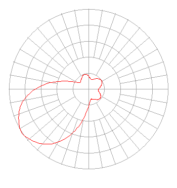
Service Contour - Open Street Map or USGS Map (60 dBu)
Service Contour - KML / Google Earth (60 dBu)
Class: D, A Noncommercial educational operating with no more than 10W
Site Location: 35-15-07.0 N 80-41-11.0 W (NAD 83)
Site Location: 35-15-06.5 N 80-41-11.8 W (Converted to NAD 27)
Effective Radiated Power: 0.25 kW
Transmitter Output Power: 0.135 kW
Antenna Center AMSL: 425 m (1394 ft.)
Antenna Center HAG: 228 m (748 ft.)
Site Elevation: 197 m. (646 ft.)
Height Overall*: 425 m (1394 ft.)
(* As Filed In This Application, may differ from ASR Data, Below.)
Directional Antenna
Antenna Make/Model: None
Antenna ID: 16149
Polarization:
| Primary Station |
| WNOW |
Ch. 0 | Mint Hill, North Carolina |
|
Structure Information
Structure Registration Number 1020784
Structure Type: GTOWER
Registered To:
American Towers LLC
Structure Address:
8036 Hood Rd (306378)
Charlotte, NC
County Name: Mecklenburg County
ASR Issued: 02/09/2024
Date Built: 01/26/2009
Site Elevation: 197.5 m (648 ft.)
Structure Height: 408.1 m (1339 ft.)
Height Overall: 424.6 m (1393 ft.)
Overall Height AMSL: 622.1 m (2041 ft.)
FAA Determination: 05/24/2023
FAA Study #: 2022-ASO-15255-OE
Paint & Light FAA Chapters: A1, B, E, H, 3, 8, 17, 21, 23
PRIOR STUDY 2000-ASO-4777-OE
35-15-06.5 N 80-41-11.6 W (NAD 83)
35-15-06.0 N 80-41-12.4 W
(Converted to NAD 27)
|
W256BP(FX) Licensee Information
Norsan Media LLC
4801 East Independence Blvd.
Suite 815
Charlotte, NC 28212
Phone: 704-405-3170
| 20150107AAL Applicant Information
Walter Dalton
Date: 01/07/2015
Application Certifier
Isothermal Community College
PO Box 804
Spindale, NC 28160
Applicant
Lawrence Schropp II
7600 Long Valley Dr.
Harrisburg, NC 28075
Technical Consultant
Steven C. Schaffer
Schwartz, Woods & Miller
1233 20th Street, N.W.
Suite 610
Washington, DC 20036-7322
|