|
WMIA-FM Channel: 230C0 93.9 MHz
Miami Beach, Florida
Service: FM - A full-service FM station or application.
Facility ID: 51978
FRN: 0014042816
Fac. Service: FM Analog & Digital
Status: LIC
Application Accepted: 02/25/2005
Application Granted: 03/21/2005
File Number: BLH-20050225AAH
License Expires: 02/01/2028
Prefix Type: This is a license for a commercial FM station
Application Type: License To Cover
FCC Website Links:
LMS Facility Details
This Application
Other WMIA-FM Applications
Including Superseded Applications
Service Contour - Open Street Map or USGS Map (60 dBu)
Service Contour - KML / Google Earth (60 dBu)
Public Inspection Files
Facility Type: FM STATION
Class: C0, C0
Site Location: 25-58-03.3 N 80-12-33.2 W (NAD 83)
Site Location: 25-58-02.0 N 80-12-34.0 W (Converted to NAD 27)
Effective Radiated Power: 100 kW
Transmitter Output Power: 17.59 kW
Antenna Center HAAT: 307 m (1007 ft.)
Antenna Center AMSL: 308 m (1010 ft.)
Antenna Center HAG: 306 m (1004 ft.)
Calculated Site Elevation: 2 m. (7 ft.)
Height Overall*: 317.6 m (1042 ft.)
(* As Filed In This Application, may differ from ASR Data, Below.)
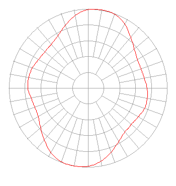
Directional Antenna
Antenna Make/Model: Electronics Research Inc. COG1084-8CP-DA, eight sections
Antenna ID: 64686
Polarization:
| Associated Translators |
| W284CS(FX) |
Ch. 284 | Miami, Florida |
|
Structure Information
Structure Registration Number 1028046
Structure Type: GTOWER
Registered To:
American Towers LLC
Structure Address:
390 Nw 210th Street (#75010)
Miami, FL
County Name: Miami-Dade County
ASR Issued: 05/11/2023
Date Built: 07/01/1983
Site Elevation: 2.1 m (7 ft.)
Structure Height: 316.1 m (1037 ft.)
Height Overall: 317.6 m (1042 ft.)
Overall Height AMSL: 319.7 m (1049 ft.)
FAA Determination: 04/30/2022
FAA Study #: 2021-ASO-33602-OE
FAA Circular #: 70/7460-1M
Paint & Light FAA Chapters: 4, 9, 15
PRIOR STUDY 2010-ASO-473-OE
25-58-03.7 N 80-12-33.2 W (NAD 83)
25-58-02.4 N 80-12-34.0 W
(Converted to NAD 27)
|
WMIA-FM Licensee Information
IHM Licenses, LLC
7136 S. Yale Avenue
Tulsa, OK 74136
Phone: 918-664-4581
| 20050225AAH Applicant Information
Andrew W. Levin
Date: 02/25/2005
Application Certifier
Clear Channel Broadcasting Licenses, Inc.
7136 S. Yale Avenue
Suite 501
Tulsa, OK 74136
Applicant
Frederick D. Veihmeyer
Lohnes and Culver
8309 Cherry Lane
Laurel, MD 20707
Consultant
Marnie K. Sarver
Wiley Rein & Fielding LLP
|