|
WFAN-FM Channel: 270B 101.9 MHz
New York, New York
Service: FS - A full service FM station auxiliary transmitting antenna or application.
Facility ID: 67846
FRN: 0004434866
Fac. Service: FM Analog & Digital
Status: LIC
Application Accepted: 01/29/2002
Application Granted: 10/24/2002
File Number: BXLH-20020129AAE
License Expires: 06/01/2030
Prefix Type: This is BXLH
Application Type: Amendment
FCC Website Links:
LMS Facility Details
This Application
Other WFAN-FM Applications
Including Superseded Applications
Service Contour - Open Street Map or USGS Map (54 dBu)
Service Contour - KML / Google Earth (54 dBu)
Public Inspection Files
Facility Type: FM STATION
Class: B, A Zone I or I-A station; with 25kW-50kW ERP and a class contour distance 39km-52km
Site Location: 40-47-17.4 N 74-15-17.5 W (NAD 83)
Site Location: 40-47-17.0 N 74-15-19.0 W (Converted to NAD 27)
Effective Radiated Power: 29.5 kW
Transmitter Output Power: 7.9 kW
Antenna Center HAAT: 194 m (636 ft.)
Antenna Center AMSL: 259 m (850 ft.)
Antenna Center HAG: 70 m (230 ft.)
Site Elevation: 189 m. (620 ft.)
Height Overall*: 92 m (302 ft.)
(* As Filed In This Application, may differ from ASR Data, Below.)
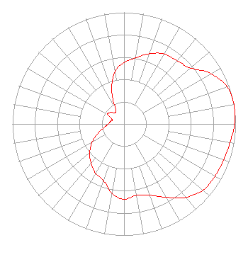
Directional Antenna
Antenna Make/Model: Shivley 6814BB-5D-SS-DA, 5 SECTION, 0.5 WAVELENGTH
Antenna ID: 36346
Polarization:
|
Structure Information
Structure Registration Number 1044879
Structure Type: LTOWER
Registered To:
American Towers LLC
Structure Address:
12-16 Marcella Ave(282671)
West Orange, NJ
County Name: Essex County
ASR Issued: 01/19/2015
Date Built: 05/31/2003
Site Elevation: 189 m (620 ft.)
Structure Height: 91.4 m (300 ft.)
Height Overall: 92.4 m (303 ft.)
Overall Height AMSL: 281.4 m (923 ft.)
FAA Determination: 10/23/2014
FAA Study #: 2014-AEA-6727-OE
FAA Circular #: 70/7460-1K
Paint & Light FAA Chapters: 4, 6, 12
PRIOR STUDY 2007-AEA-2741-OE
40-47-17.4 N 74-15-17.5 W (NAD 83)
40-47-17.0 N 74-15-19.0 W
(Converted to NAD 27)
|
WFAN-FM Licensee Information
Audacy License, LLC
2400 Market Street, 4th Floor
Philadelphia, PA 19103
Phone: 202-571-6555
Limited Liability Company | 20020129AAE Applicant Information
Richard F. Cummings
Date: 01/29/2002
Application Certifier
Emmis Radio License Corporation
3500 West Olive Avenue
Suite 300
Burbank, CA 91505
Applicant
Robert Culver
Lohnes & Culver
8309 Cherry Lane
Laurel, MD 20707
Engineering Consultant
John E. Fiorini, Esq.
Wiley Rein & Fielding LLP
|