|
K220EO Channel: 220D 91.9 MHz
Hilo, Hawaii
Service: FX - A translator or application for a translator.
Facility ID: 43688
FRN: 0006791354
Fac. Service: FX
Programming Delivery Method: Unspecified
Status: LIC
Application Accepted: 09/10/2015
Application Granted: 10/01/2015
File Number: BLFT-20150910AAF
License Expires: 02/01/2030
Prefix Type: This is a license for a translator
Application Type: License To Cover
FCC Website Links:
LMS Facility Details
This Application
Other K220EO Applications
Including Superseded Applications
Service Contour - Open Street Map or USGS Map (60 dBu)
Service Contour - KML / Google Earth (60 dBu)
Class: D, A Noncommercial educational operating with no more than 10W
Site Location: 19-43-00.0 N 155-08-13.0 W (NAD 83)
Site Location: 19-43-10.9 N 155-08-23.0 W (Converted to NAD 27)
Effective Radiated Power: 0.25 kW
Transmitter Output Power: 0.111 kW
Antenna Center AMSL: 300 m (984 ft.)
Antenna Center HAG: 37 m (121 ft.)
Site Elevation: 263 m. (863 ft.)
Height Overall*: 80 m (262 ft.)
(* As Filed In This Application, may differ from ASR Data, Below.)
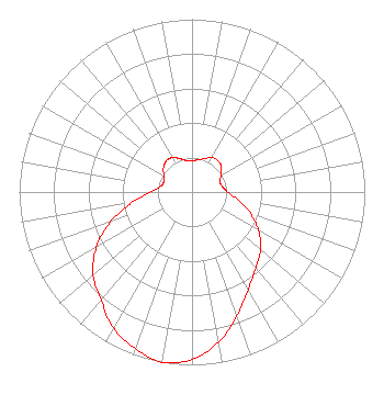
Directional Antenna
Antenna Make/Model: Scala CA5FM/CP/RM
Antenna ID: 110376
Polarization:
| Primary Station |
| WJSO(FM) |
Ch. 211 | Pikeville, Kentucky |
|
Structure Information
Structure Registration Number 1029536
Structure Type: TOWER
Registered To:
Nexstar Media Inc.
Structure Address:
2.1 Km Nw Of Intersection Waianuenue & Akola
Piihonua, HI
County Name: Hawaii County
ASR Issued: 05/28/2021
Date Built: 01/01/1967
Site Elevation: 262.7 m (862 ft.)
Structure Height: 78.6 m (258 ft.)
Height Overall: 79.6 m (261 ft.)
Overall Height AMSL: 342.3 m (1123 ft.)
Paint & Light FAA Chapters: 1, 3, 11, 21
19-42-49.0 N 155-08-03.0 W (NAD 83)
19-42-59.9 N 155-08-13.0 W
(Converted to NAD 27)
|
K220EO(FX) Licensee Information
The Moody Bible Institute of Chicago
820 N Lasalle St
Chicago, IL 60610-3214
Phone: 312-329-4438
| 20150910AAF Applicant Information
Colin Lambert
Date: 09/10/2015
Application Certifier
The Moody Bible Institute of Chicago
820 North Lasalle Boulevard
Chicago, IL 60610-3284
Applicant
Jeffrey D Southmayd
Southmayd & Miller
4
Palm Coast, FL 32137
Attorney
Jeffrey D. Southmayd
Southmayd & Miller
4 Ocean Ridge Boulevard South
Palm Coast, FL 32137
|