
FCCInfo.com
A Service of Cavell, Mertz & Associates, Inc.
(855) FCC-INFO
|
|
KBLX-FM7 from 01/04/2022 |
|
|
||||||||||||||||
|
|
KBLX-FM7 Channel: 275D 102.9 MHz Berkeley, California Service: FB - A booster station or application for a booster. Facility ID: 762868 Fac. Service: FB Programming Delivery Method: Unspecified Status: License Application Accepted: 04/25/2022 Application Granted: 04/29/2022 File Number: -0000189690 License Expires: 12/01/2029 Application Type: License To Cover FCC Website Links: LMS Facility Details This Application Other KBLX-FM7 Applications Other KBLX-FM7 Applications in CDBS Including Superseded Applications Mailing Address Correspondence for KBLX-FM7 Correspondence related to application -0000189690 Service Contour - Open Street Map or USGS Map (60 dBu) Service Contour - KML / Google Earth (60 dBu) Facility Type: FM STATION Class: D, A Noncommercial educational operating with no more than 10W Site Location: 38-01-16.5 N 121-59-16.1 W (NAD 83) Site Location: 38-01-16.8 N 121-59-12.2 W (Converted to NAD 27) Effective Radiated Power: 0.3 kW Antenna Center HAAT: 0 m Antenna Center AMSL: 201.4 m (661 ft.) Antenna Center HAG: 31 m (102 ft.) Site Elevation: 170.4 m. (559 ft.) Height Overall*: 57.6 m (189 ft.) (* As Filed In This Application, may differ from ASR Data, Below.) Directional Antenna Antenna Make/Model: Jampro JAVA 1-1 (2) Antenna ID: 1008811 Polarization: H
| ||||||||||||||||||
| Antenna Data for Antenna Id: 1008811 KBLX-FM7 FB File: -0000189690 Jampro - JAVA 1-1 (2) Service: FB | 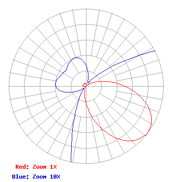 | ||||||||||||||||||
| Azimuth | Ratio | Azimuth | Ratio | Azimuth | Ratio | Azimuth | Ratio | ||||||||||||
| 0 | 0.027 | 10 | 0.016 | 20 | 0.007 | 30 | 0.005 | ||||||||||||
| 40 | 0.011 | 50 | 0.030 | 60 | 0.079 | 70 | 0.172 | ||||||||||||
| 80 | 0.315 | 90 | 0.500 | 100 | 0.698 | 110 | 0.870 | ||||||||||||
| 120 | 0.974 | 128 | 1.000 | 130 | 0.990 | 140 | 0.922 | ||||||||||||
| 150 | 0.774 | 160 | 0.580 | 170 | 0.386 | 180 | 0.223 | ||||||||||||
| 190 | 0.109 | 200 | 0.044 | 210 | 0.016 | 220 | 0.006 | ||||||||||||
| 230 | 0.005 | 240 | 0.013 | 250 | 0.024 | 260 | 0.034 | ||||||||||||
| 270 | 0.039 | 280 | 0.039 | 290 | 0.036 | 300 | 0.034 | ||||||||||||
| 310 | 0.033 | 320 | 0.036 | 330 | 0.038 | 340 | 0.039 | ||||||||||||
| 350 | 0.035 | ||||||||||||||||||
Structure Registration Number 1057624 Structure Type: LTOWER Registered To: American Towers LLC Structure Address: 4709 Evora Road (#8628) Shore Acres, CA County Name: Contra Costa County ASR Issued: 01/15/2013 Date Built: 08/20/2001 Site Elevation: 170.4 m (559 ft.) Structure Height: 56.4 m (185 ft.) Height Overall: 57.6 m (189 ft.) Overall Height AMSL: 228 m (748 ft.) FAA Determination: 07/24/2012 FAA Study #: 2012-AWP-4473-OE Paint & Light FAA Chapters: NONE PRIOR STUDY 2008-AWP-4256-OE 38-01-16.5 N 121-59-16.1 W (NAD 83) 38-01-16.8 N 121-59-12.2 W (Converted to NAD 27) |
55 North 300 West 2nd Floor Salt Lake City, UT 84101 Phone: 801-575-5872 Corporation | Title: Vice President And General Counsel Date: 04/25/2022 Application Certifier Bonneville International Corporation 55 North 300 West 2nd Floor Salt Lake City, UT 84101 Applicant Bert Goldman Goldman Engineering Management 560 Perkins Way Auburn, CA 95603 Technical Consultant Kenneth E. Satten Wilkinson Barker Knauer, Llp 1800 M Street, Nw Suite 800n Washington, DC 20036 FCC Counsel | |||||||||||||||||