|
WBLI Channel: 291B 106.1 MHz
Patchogue, New York
Service: FS - A full service FM station auxiliary transmitting antenna or application.
Facility ID: 37235
FRN: 0029118726
Fac. Service: FM Analog & Digital
Status: LIC
Application Accepted: 06/30/2010
Application Granted: 06/10/2011
File Number: BXLH-20100630BYH
License Expires: 06/01/2030
Prefix Type: This is BXLH
Application Type: License To Cover
FCC Website Links:
LMS Facility Details
This Application
Other WBLI Applications
Including Superseded Applications
Service Contour - Open Street Map or USGS Map (54 dBu)
Service Contour - KML / Google Earth (54 dBu)
Public Inspection Files
Facility Type: FM STATION
Class: B, A Zone I or I-A station; with 25kW-50kW ERP and a class contour distance 39km-52km
Site Location: 40-50-32.4 N 73-02-23.4 W (NAD 83)
Site Location: 40-50-32.0 N 73-02-25.0 W (Converted to NAD 27)
Effective Radiated Power: 23 kW
Transmitter Output Power: 13.5 kW
Antenna Center HAAT: 132 m (433 ft.)
Antenna Center AMSL: 155 m (509 ft.)
Antenna Center HAG: 76 m (249 ft.)
Calculated Site Elevation: 79 m. (259 ft.)
Height Overall*: 107 m (351 ft.)
(* As Filed In This Application, may differ from ASR Data, Below.)
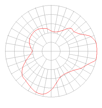
Directional Antenna
Antenna Make/Model: Electronics Research Inc. MP-2E-HW-DA-SP, 2 bays, .5 wavelength spaced
Antenna ID: 90031
Polarization:
| Associated Translators |
| W231CX(FX) |
Ch. 233 | Shirley, New York |
|
Structure Information
Structure Registration Number 1003317
Structure Type: LTOWER
Registered To:
High-Tower Communications, Inc.
Structure Address:
95 Lidge Dr., S Of Willow
Farmingville, NY
County Name: Suffolk County
ASR Issued: 02/18/2022
Date Built: 04/01/1993
Site Elevation: 79.2 m (260 ft.)
Structure Height: 106.7 m (350 ft.)
Height Overall: 106.7 m (350 ft.)
Overall Height AMSL: 185.9 m (610 ft.)
FAA Determination: 03/18/1994
FAA Study #: 94-AEA-0328-OE
FAA Circular #: 70/7460-1H
Paint & Light FAA Chapters: 3, 4, 5, 13
40-50-32.0 N 73-02-23.0 W (NAD 83)
40-50-31.6 N 73-02-24.6 W
(Converted to NAD 27)
|
WBLI(FM) Licensee Information
CMG NY/Texas Radio, LLC
1601 W Peachtree Street NE
Atlanta, GA 30309
Phone: 404-897-7000
Limited Liability Company | 20100630BYH Applicant Information
Shauna Sullivan
Date: 06/30/2010
Application Certifier
Cox Radio, Inc.
555 Sunrise Highway
West Babylon, NY 11704
Applicant
Charles A. Cooper
Du Treil, Lundin & Rackley, Inc.
201 Fletcher Avenue
Sarasto, FL 34237
Technical Consultant
Robert J. Folliard, III, Esq.
Dow Lohnes PLLC
|